Tornado warned supercell near Colfax, North Dakota. Aug 5th, 2006
Started the day heading due west in MN from the twin cities. I turned north from Litchfield to I-94 as the SW part of the state was very inconsistent on models for capping, while the north was pretty much agreed that it would break somewhere. Was at the SD/ND/MN border area when a storm finally went up. Thanks to Bill Doms for giving me additional info while out there.
Video of strong motion: Still pics:
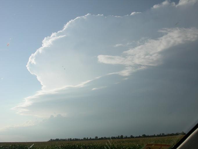
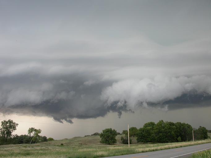
Looking NW
Storm base to NW
Nice little circular area to the left
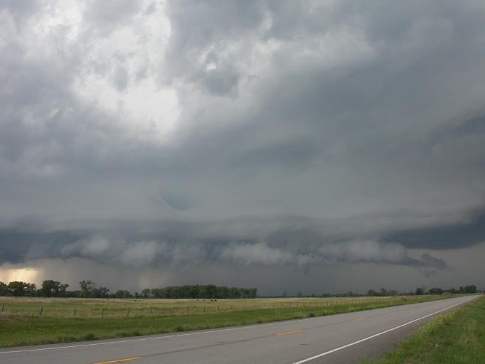
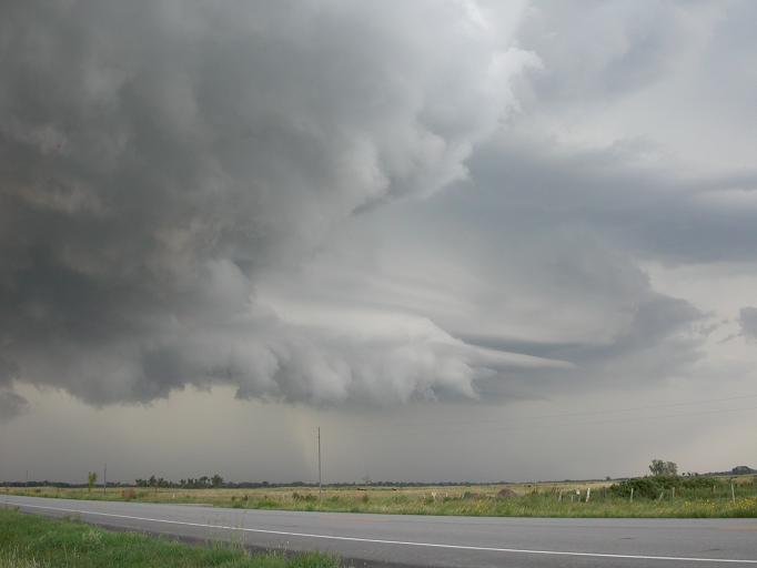
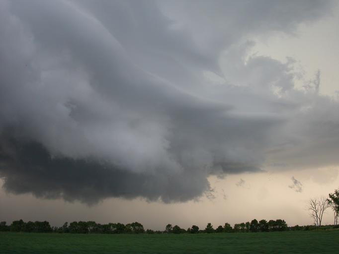
It took on a shelf like layered appearance looking N:
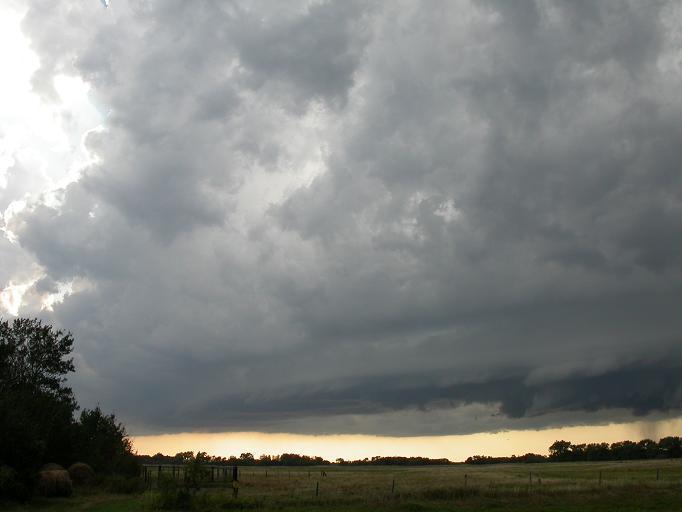
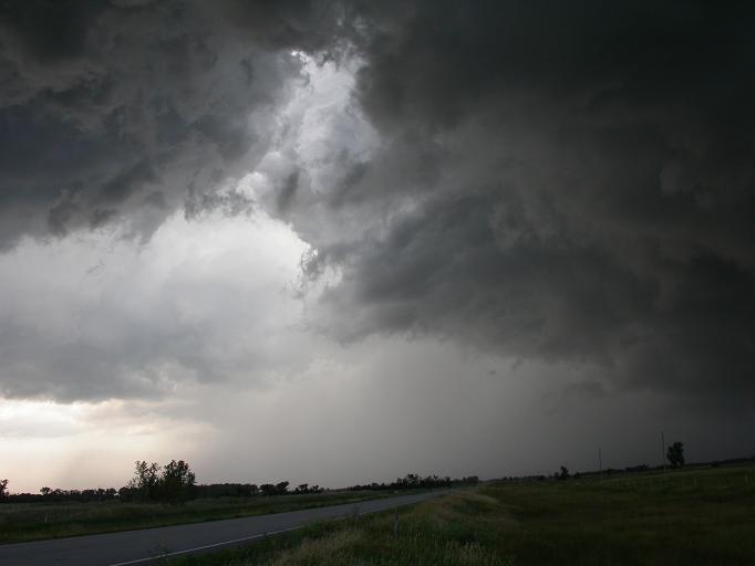
Lots of vertical motion here being sucked up:
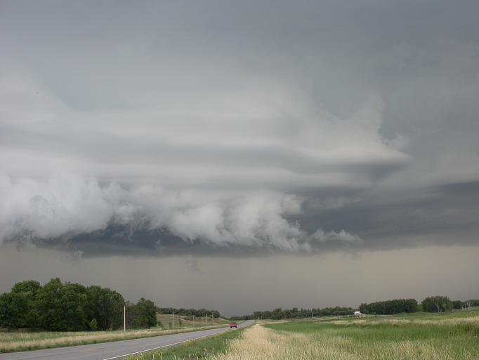
Very curvy and suddenly ending layers:
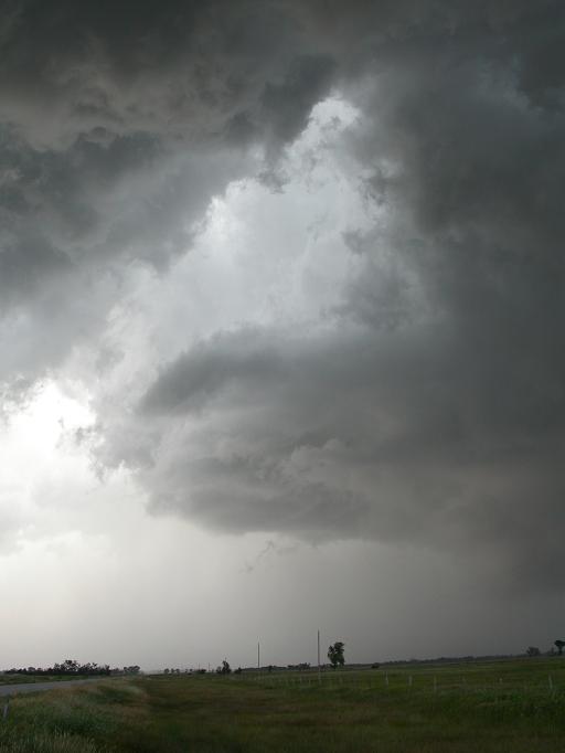
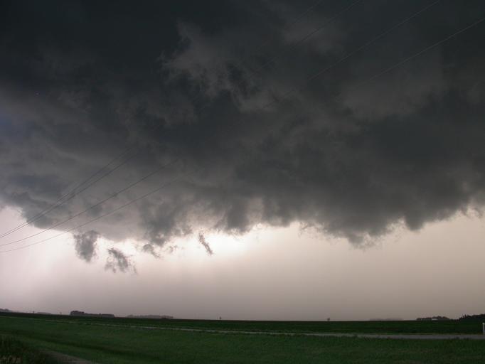
Clear slot/RFD notch?:
Look at the wisps! Still looking N to NE now
From a bit later on:
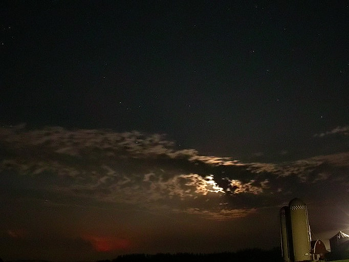
Stars, Moon, and orange lightning in the lower left. Taken neat St Cloud looking S around midnight.
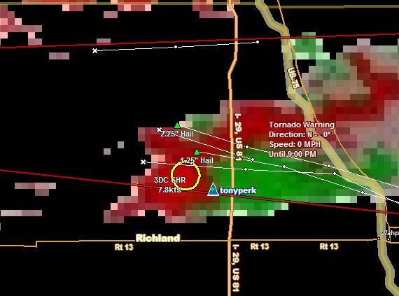
Earlier shot on the storm, captured by Bill Doms. If you have the program SwiftWX, and the chaser has a data cell connection, you can watch where chasers are in real time.
After the storm, I met up with David Drufke, Thresea C, Lori and Chris, and Aaron R for dinner and stories. No tubes, but we couldn't have been happier.
Go back to the Blueskybust