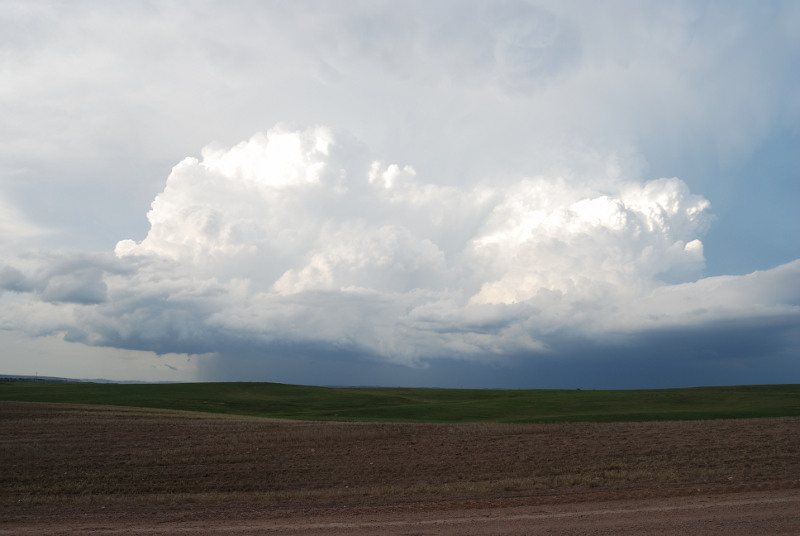
Today was one of the best storm chases I have ever been a part of. Joel Lampe, Shawn Hewitt, and myself saw what may be the most widely documented tornado in history, thanks to Vortex 2. This was the only tornado that the Vortex 2 research project saw during their monthlong deployment. We got to the storm early, and watched it produce 2 tornadoes. More commentary is with the pictures below.
Video with a time lapse:
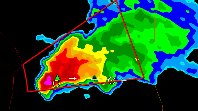
Video of a map of the storm with spotter network storm chaser icons overlayed. I created this with Google Earth Pro (during a 1 week trial), L2 Data converted to KML, and Spotter Network data converted to KML for the day: Stills:
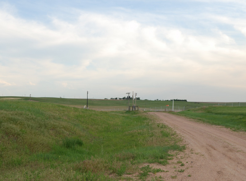
Our closest position represented by the green icon, the white circle shows us heading back east away from the hail.
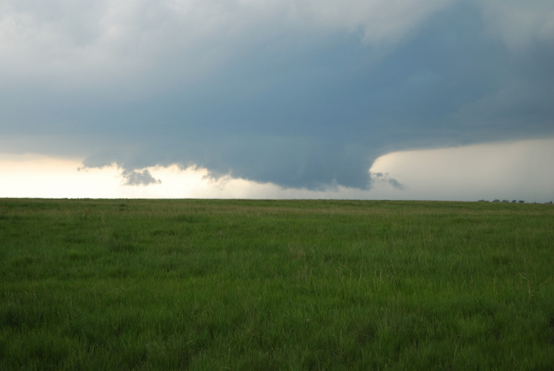
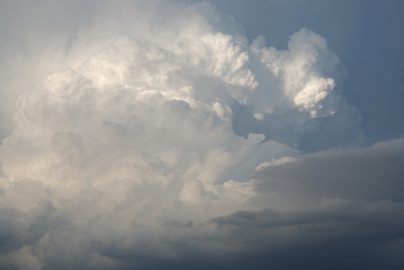
Wall cloud is getting well defined:
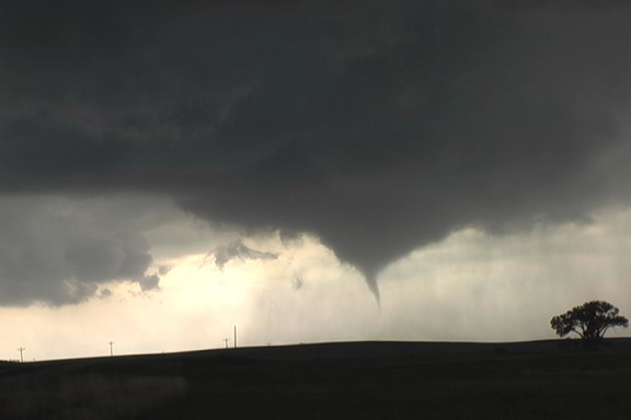
First brief Tornado:
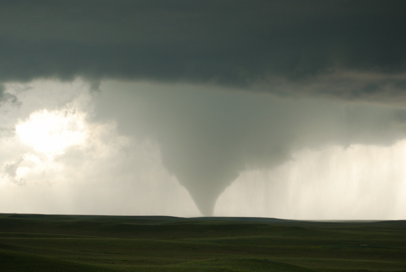
Second main tornado started about 30-60 seconds later:
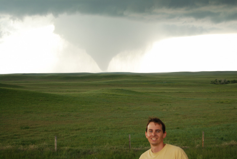
Tornado and Tony:
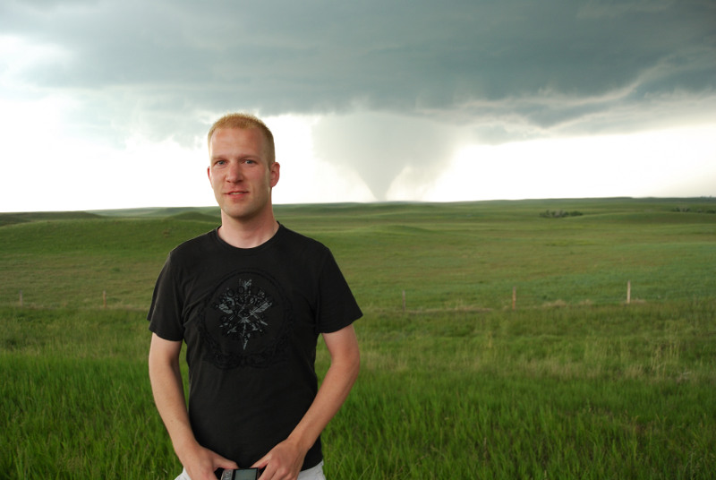
Tornado and Joel:
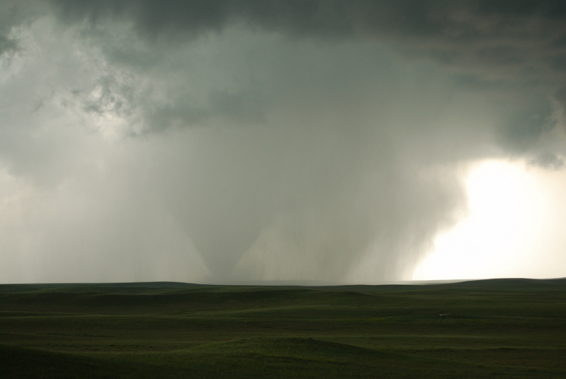
Tornado becomes wrapped in rain:
Tornado emerges from rain in it's final stages:
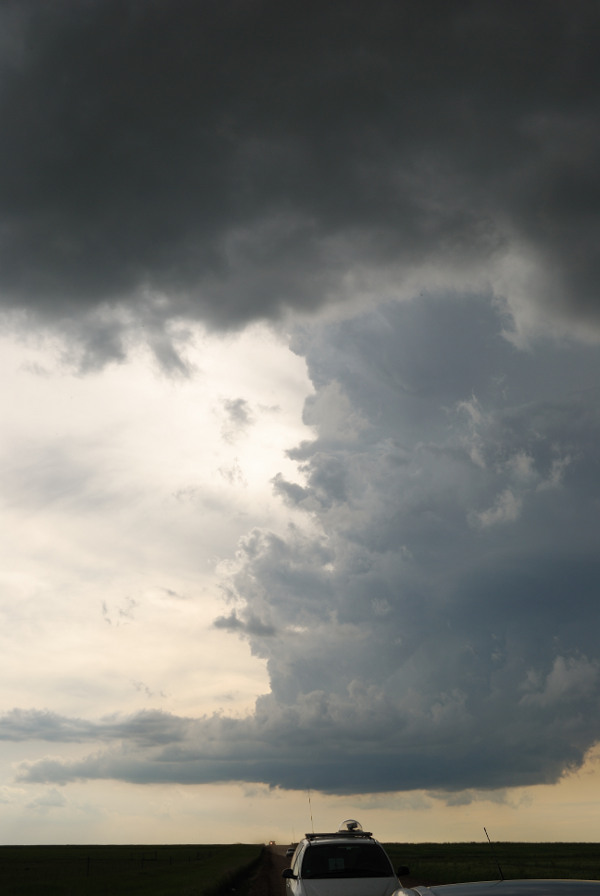
Much later now, still following the same storm in the Nebraska panhandle:
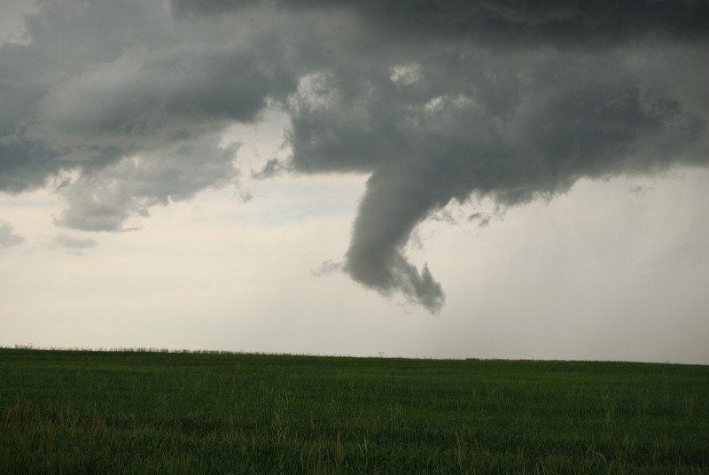
An odd funnel:
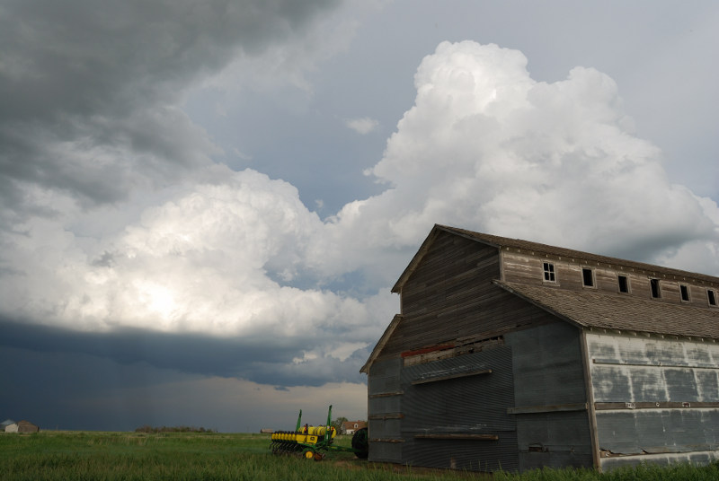
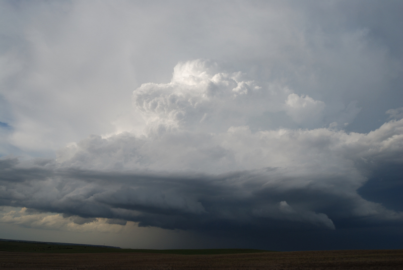
Good structure on another storm back to the west:
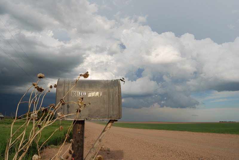
A mailbox in the middle of nowhere, what a great object to shoot:
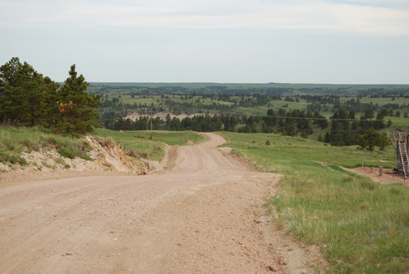
This was an actual chase road. There isn't much for options out there.