An unusually hot and humid May afternoon in MN that resulted in some low precip (LP) photogenic storms. I chased with Joel Lampe to the storm near Albany, MN.
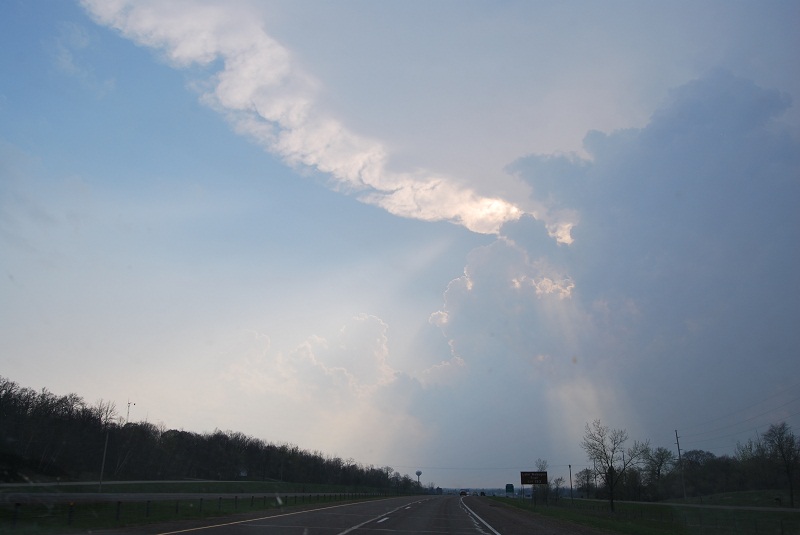
Approaching the storm from the east:
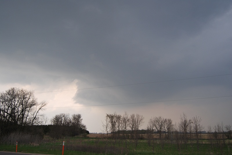
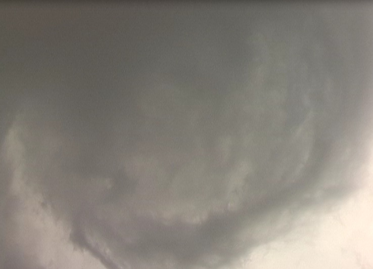
The storm had a lowering as seen below for a few moments, but it looked disorganized on a whole. It was still early in the storm's life.
Short lived lowering north of Albany:
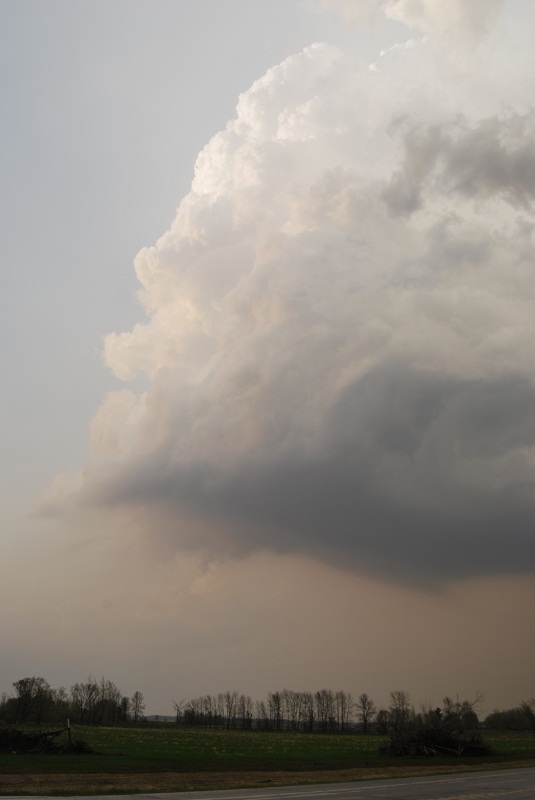
About 40 minutes later, this storm or a different one in the broken line had died enough to take on a nice LP look to the updraft.
Skinny updraft:
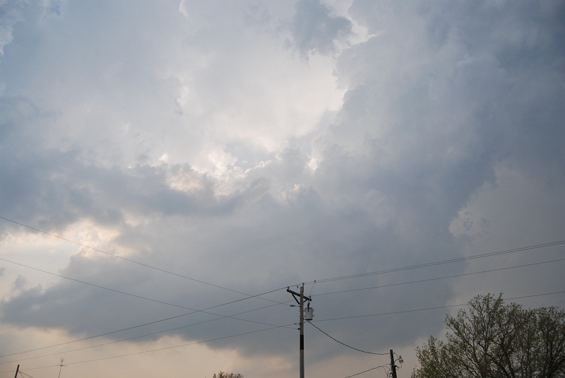
By 8 PM, we caught up with the emerging dominant cell near Foley. The entire meso was rotating, although it was somewhat high based. There was no sign of a wall cloud or a funnel cloud as we observed it spinning around:
Meso:
We then drove just a bit off from under the meso to get ahead of it. The clouds were wispy strands slowly rotating around. With the height of it, it didn't feel like a threat. You can see it and other speedups the spinning in the video below.
During the chase, there was a report of 2.5 inch hail at the intersection my car was park at at home. Then end of the video shows my tense moments reuniting with my car. The last time I had hail that big at home, I had a broken window on the garage and $15,000 worth of new siding and shingles.