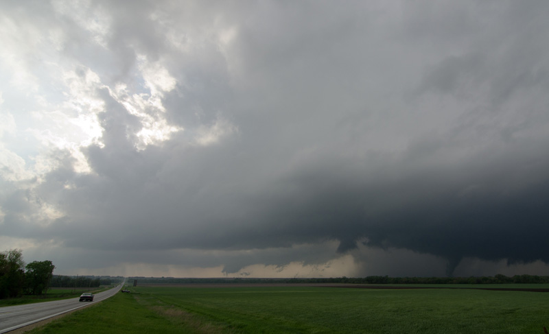
Around 6 PM one of the Kansas supercells had still held it together and was again producing tornadoes. We came over a ridge south of Salina and saw a large tornado crossing the road a few miles up.
Here is the edited video from the day:
Pictures:
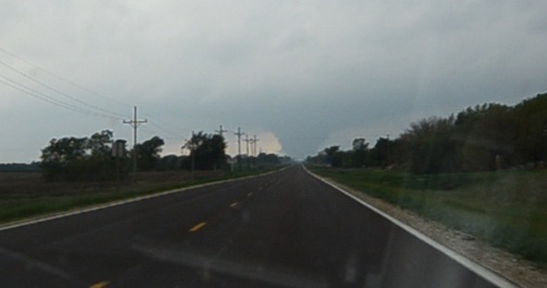
First glimpse of the tornado heading west out of Lindsborg, KS
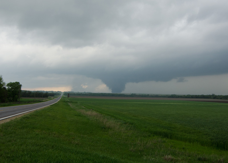
A minute or two later we found a good viewpoint to get out and watch the tornado for a good 8-10 minutes.
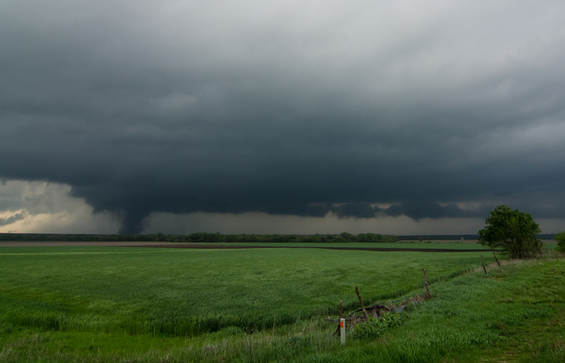
The inflow tail is visible as it starts to get more to the north of us
The sun pokes through on the left with the tornado on the right. Shot with an ultrawide.
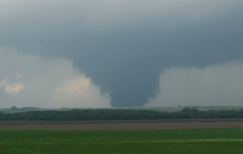
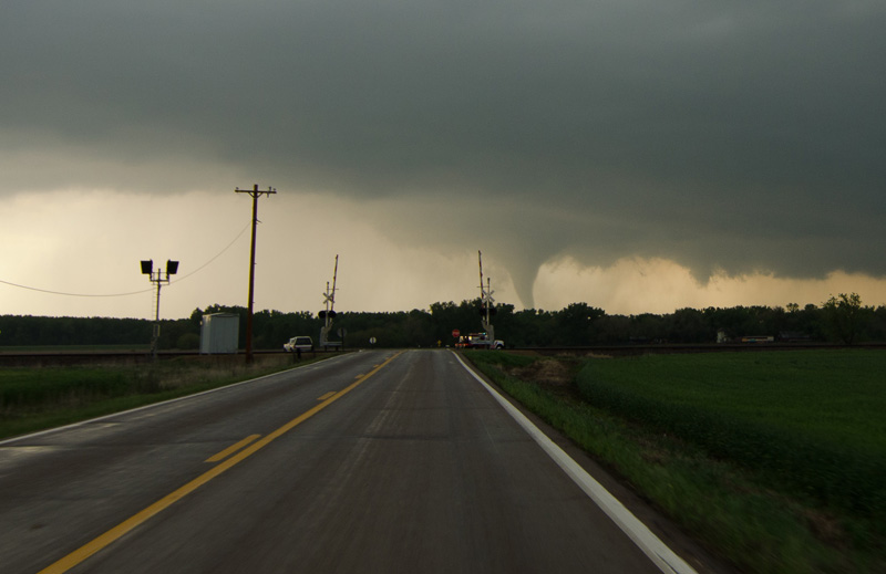
Looking north as the tornado has crossed I-70 after skipping over Salina
For the next 20-30 minutes, we continued to follow the tornado that just wouldn't quit while dealing with the traffic that had emerged from following it. It thankfully took one break during it's track as it passed over Salina. The long drive home began shortly thereafter, which ended up being a 1,300 mile, 24 hour trip of almost all driving time.
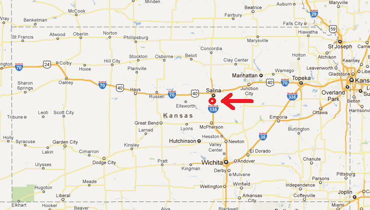
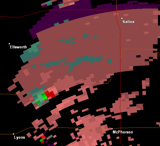
Approximate location
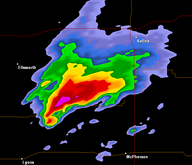
Radar reflectivity
Radar velocity showing area of strong rotation
Antcam animation for Spotter Network from this day
Return to the chases of 2012
- Tony Perkins